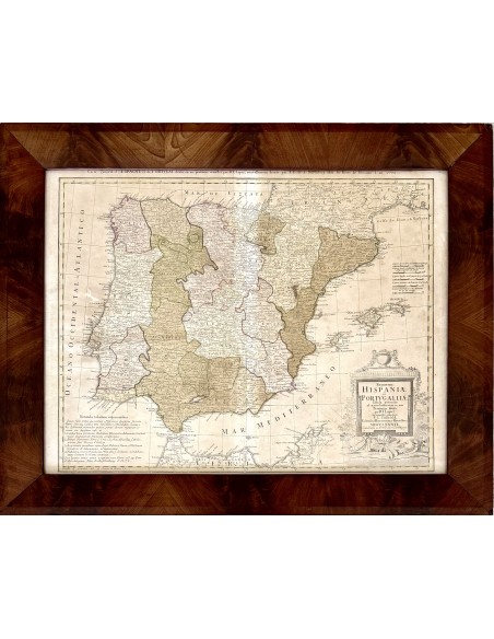
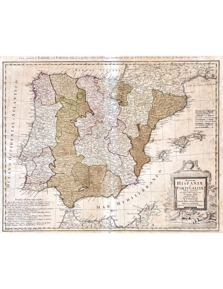
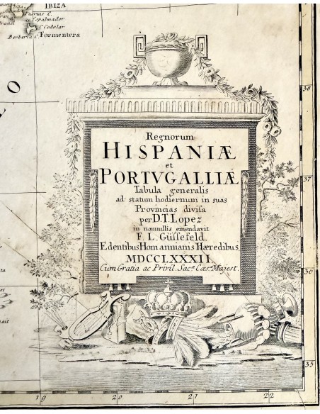
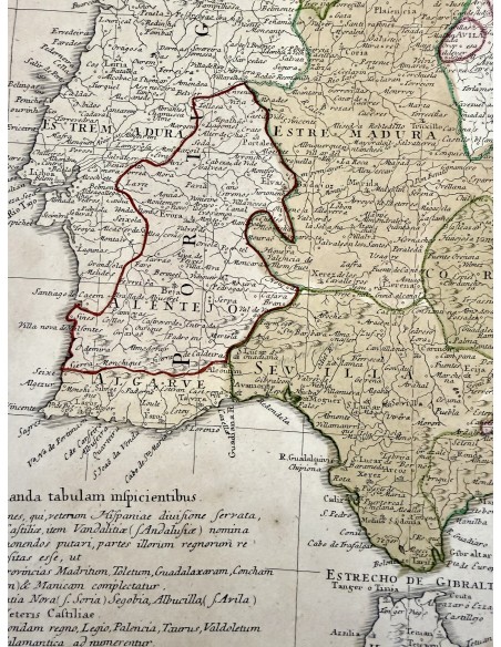
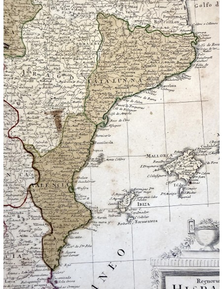
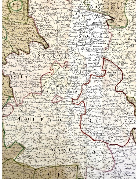
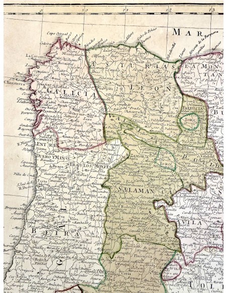
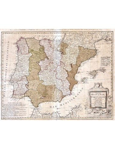
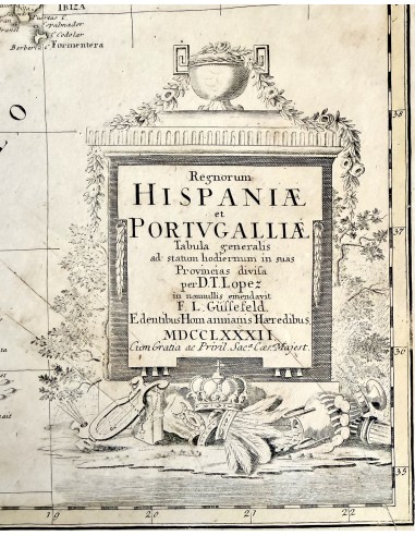
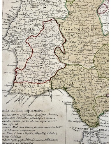
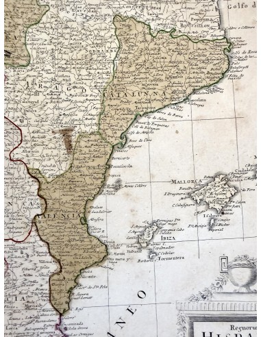
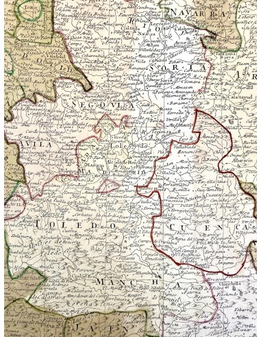
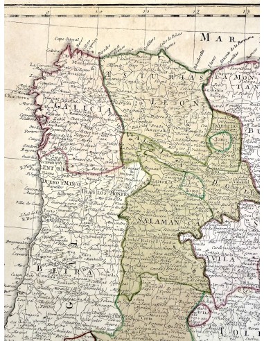
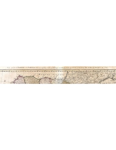
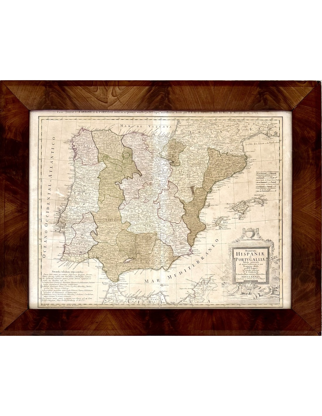
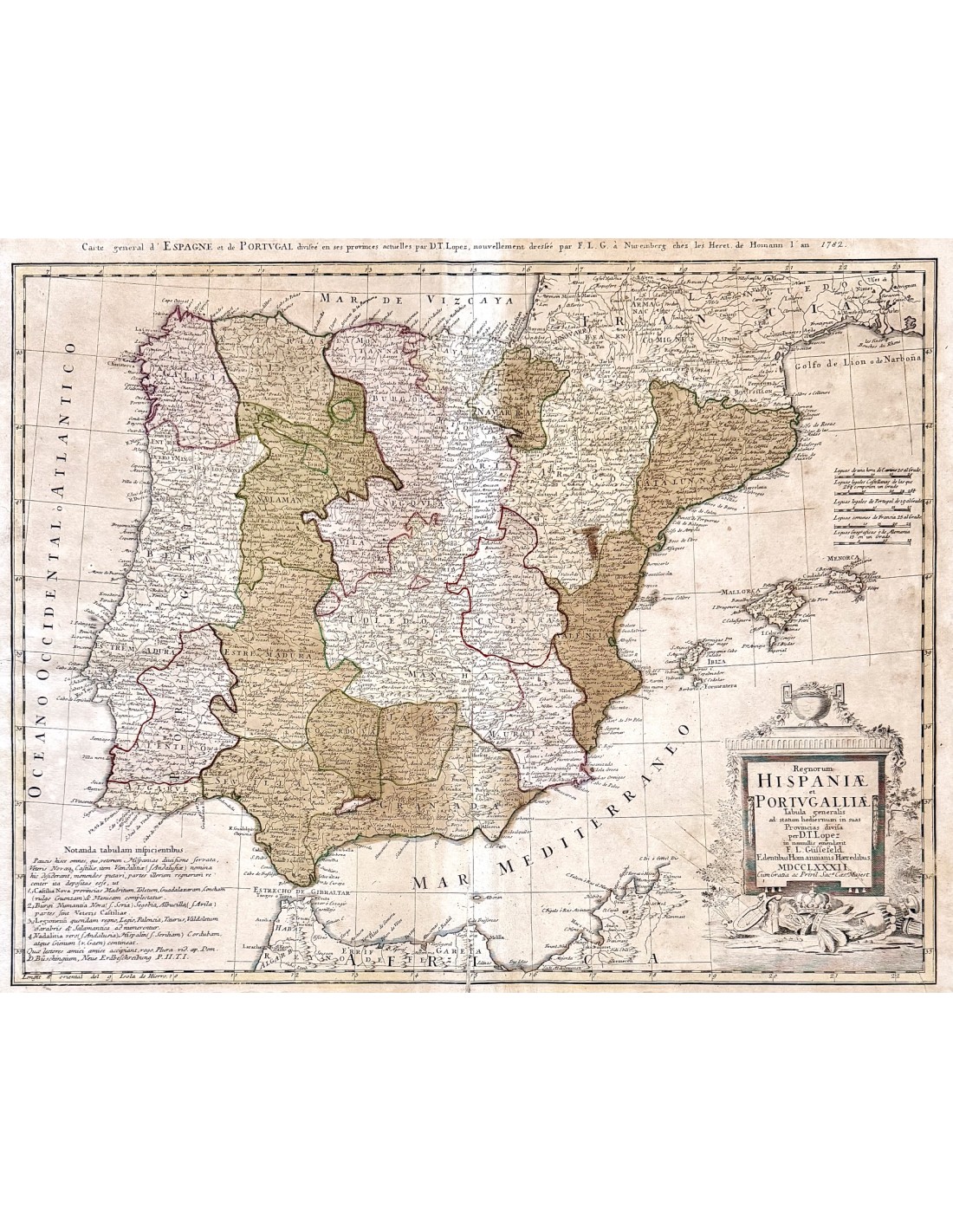
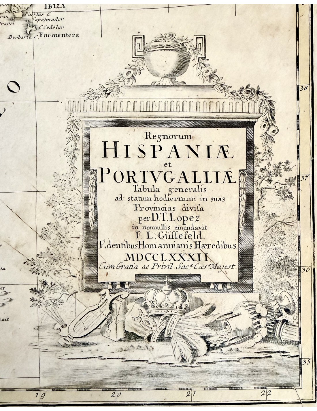
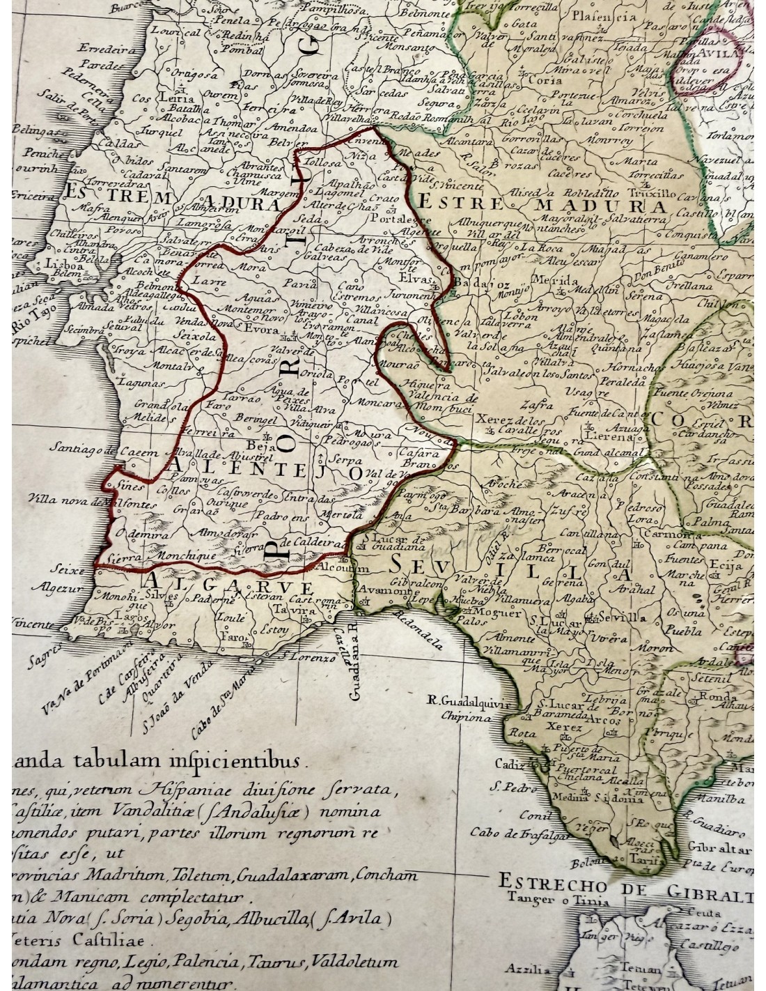
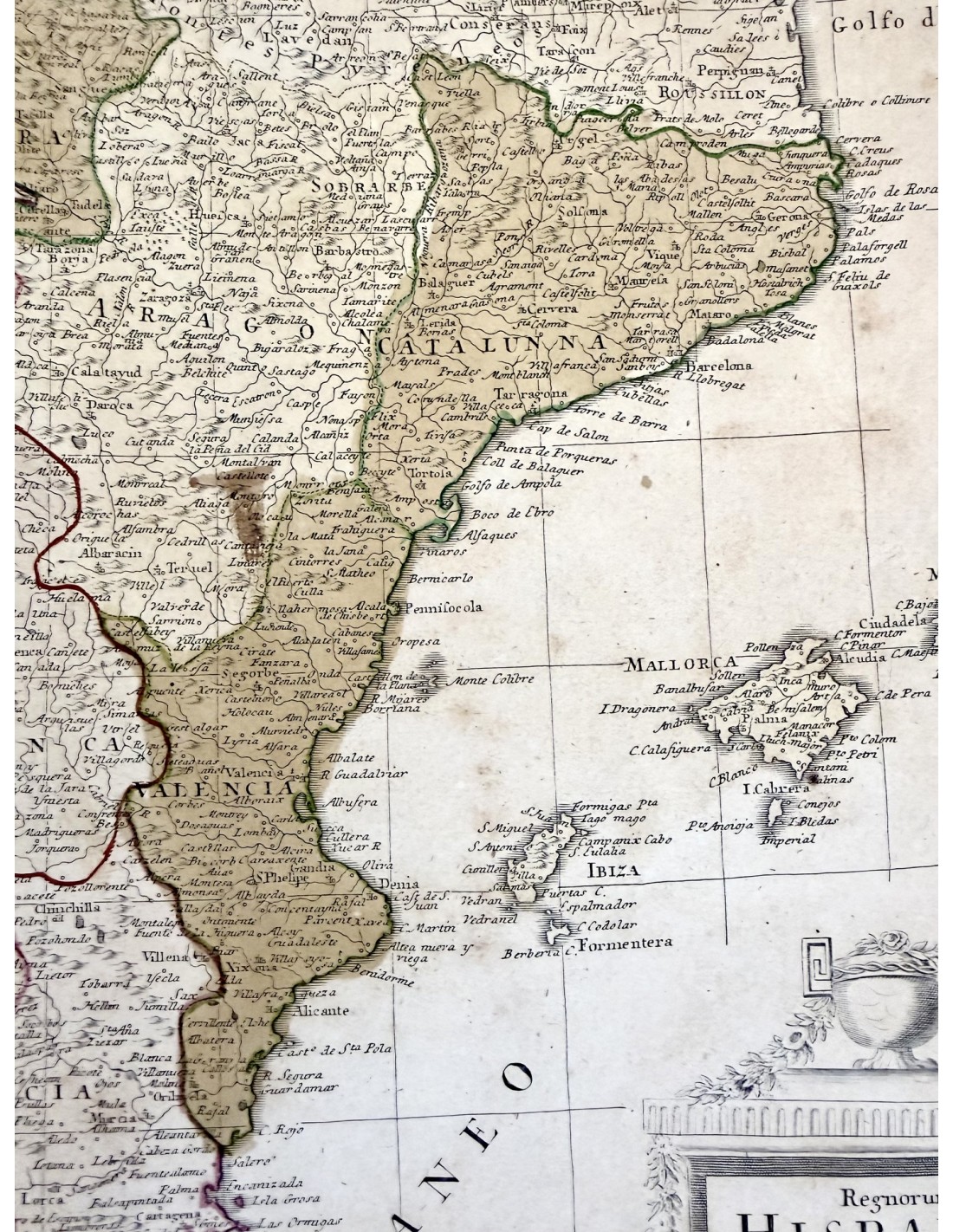
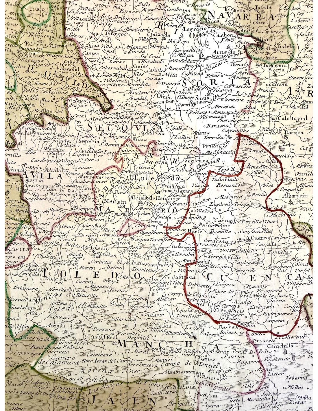
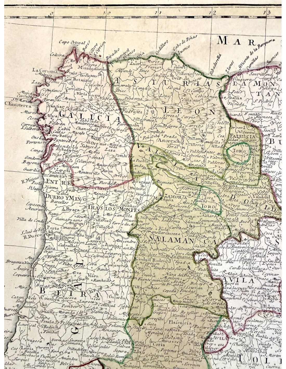
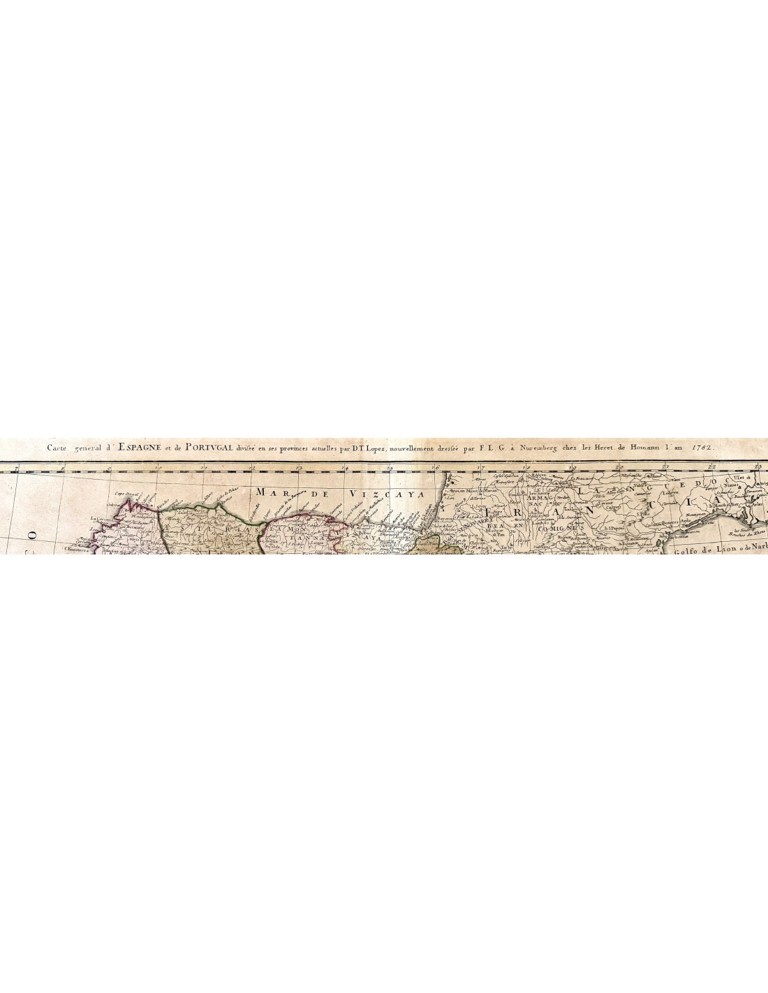
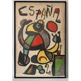
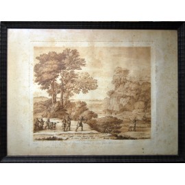
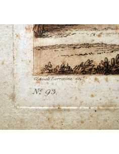
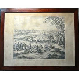
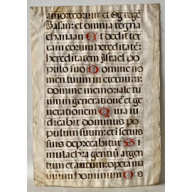
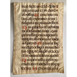
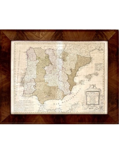
Map of the Iberian Peninsula, Spain, and Portugal, 1782, 18th century, created by Tomas Lopez de Vargas (Madrid, 1730 - Madrid, 1802), royal geographer, cartographer, publisher, and map engraver. Some damp stains and two small, minor cuts, normal for the period, but generally in good condition.
DIMENSIONS: paper 49 x 64 cm - framed 60.5 x 76.2 cm.