
Shopping Cart


Last items in stock
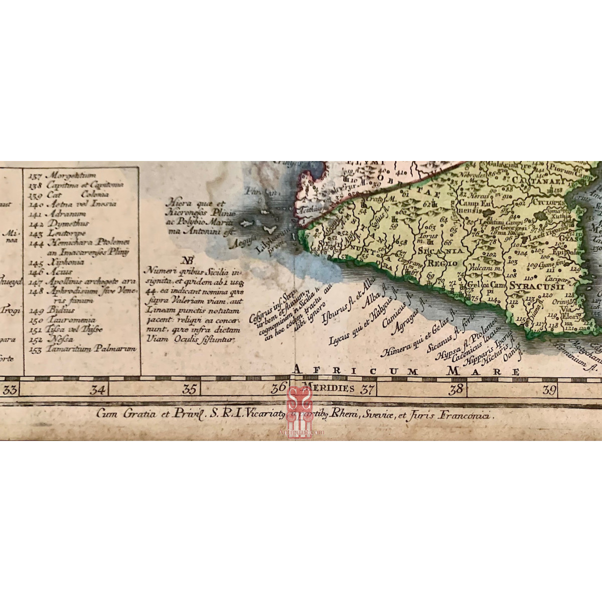
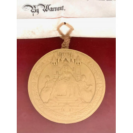
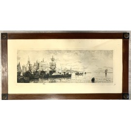
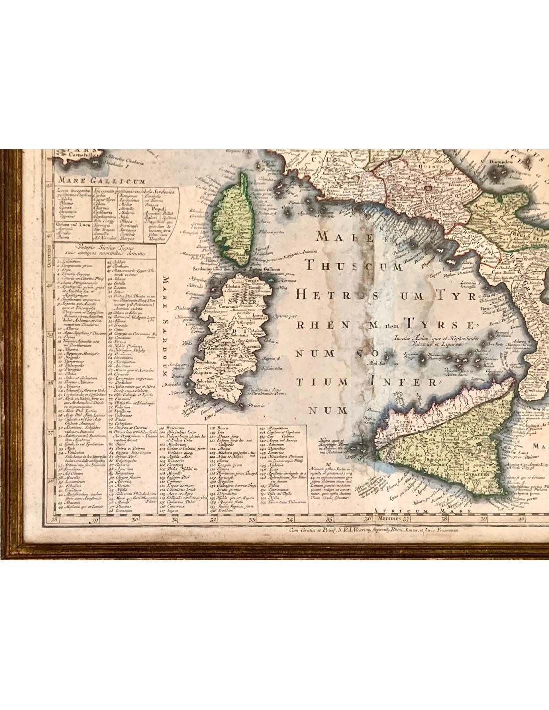
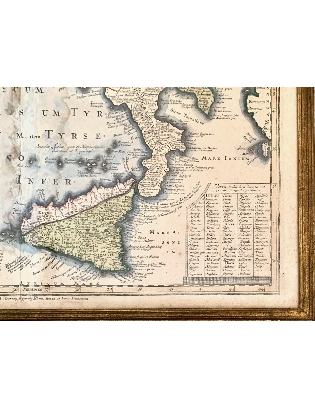
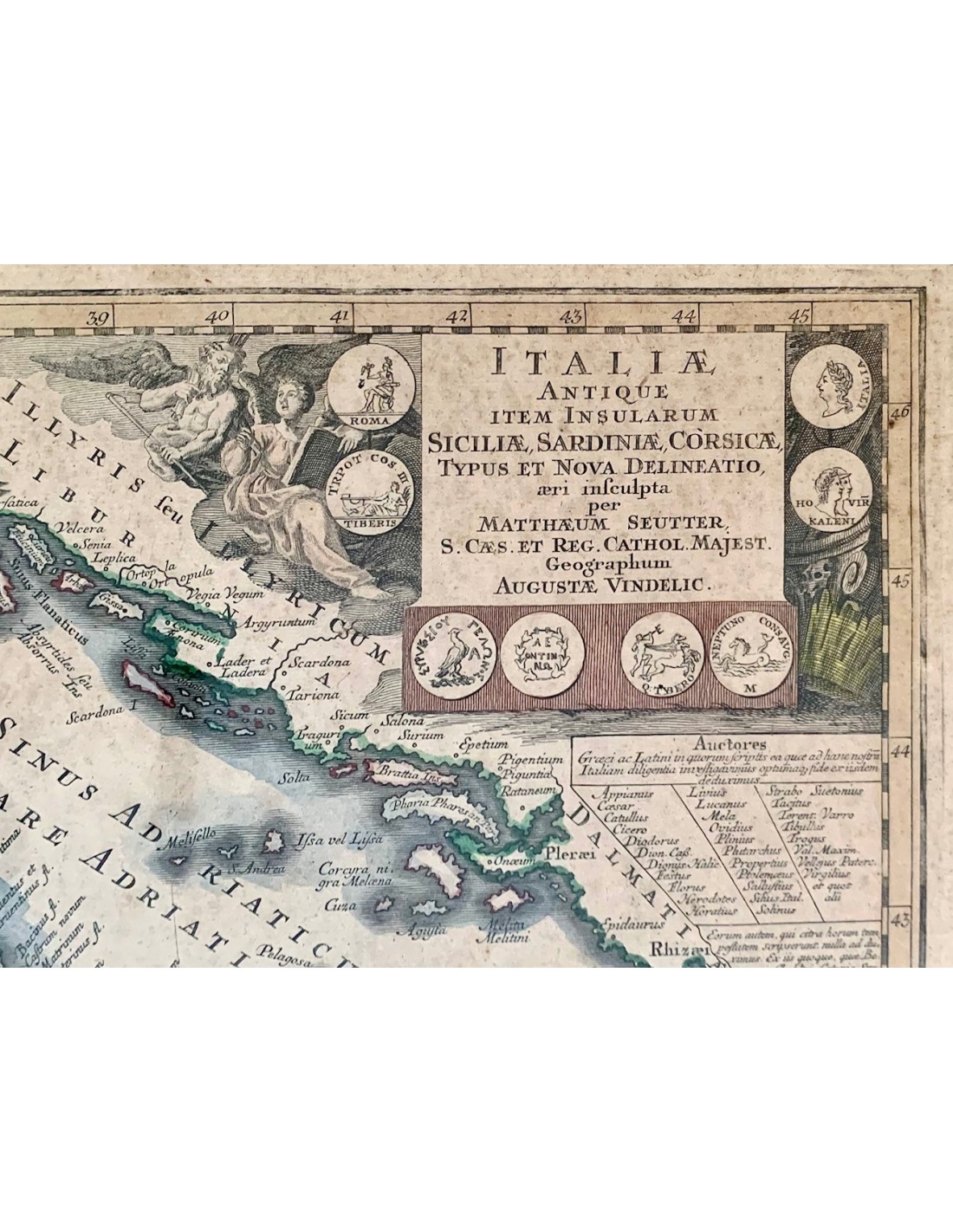
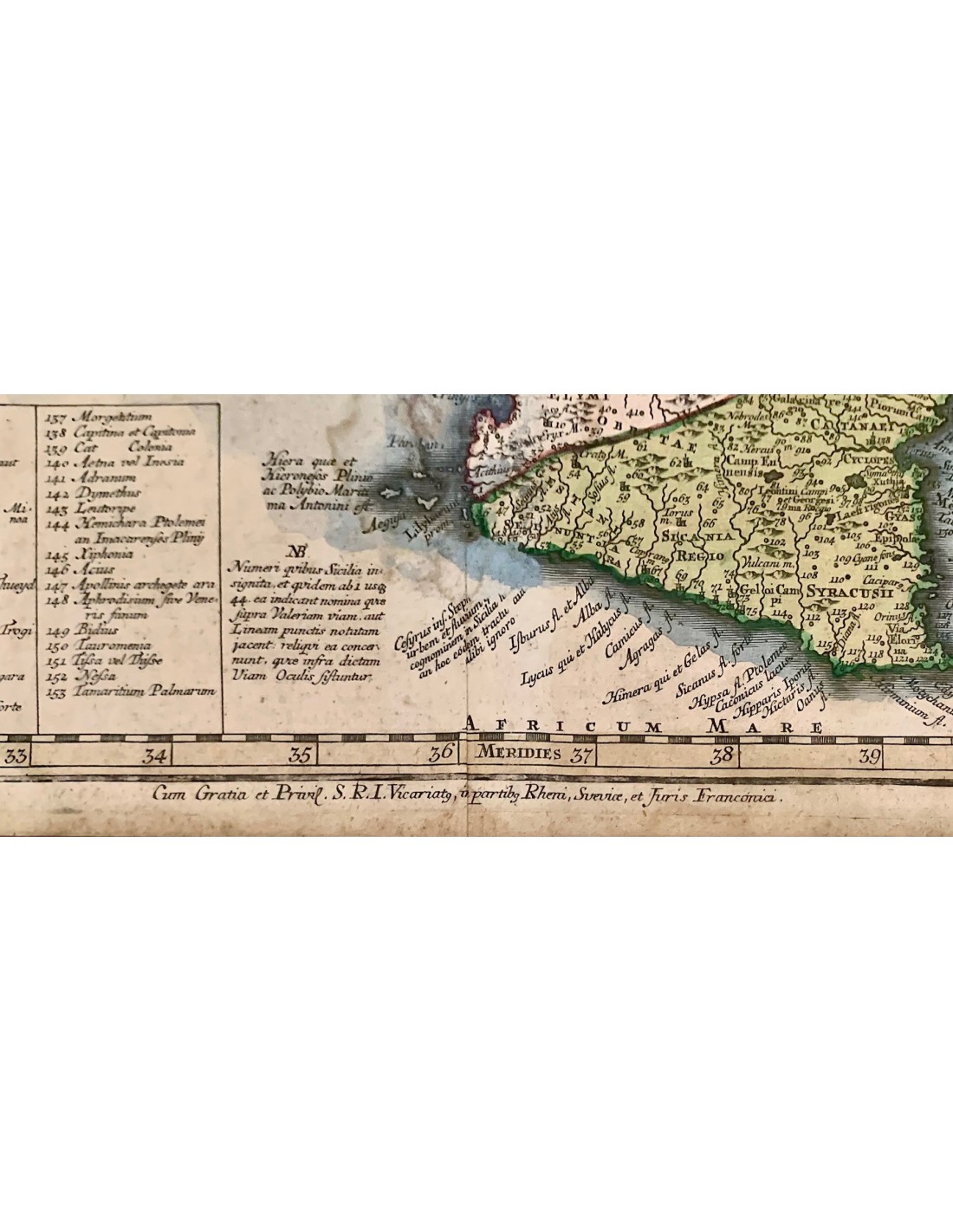
ENGRAVINGS, LITHOGRAPHS
