info@antiguart.com

Carrito:
0
producto
Productos
empty
Ningún producto
Envío gratuito!
transporte
0,00 €
Total
Producto añadido correctamente a su carrito de la compra
Cantidad
Total
Hay 0 artículos en su carrito. Hay 1 artículo en su cesta.
Total productos:
(impuestos inc.)
Total envío: (sin IVA)
Envío gratuito!
Total
(impuestos inc.)
Antiguart
antiques, art conservation and restoration
(+34) 96 014 14 35
(+34) 67 925 37 01

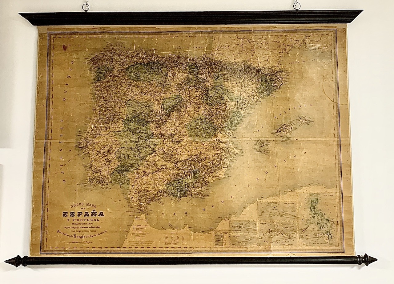
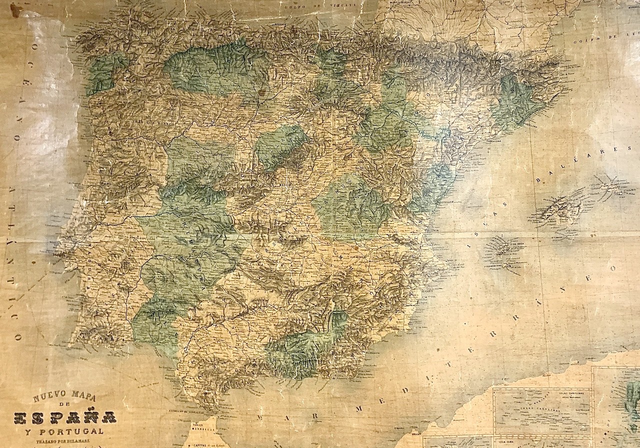
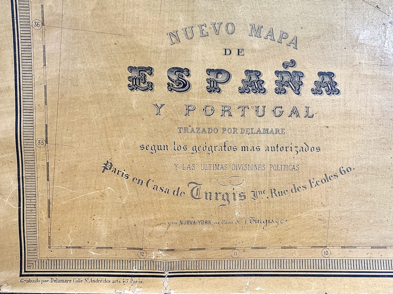
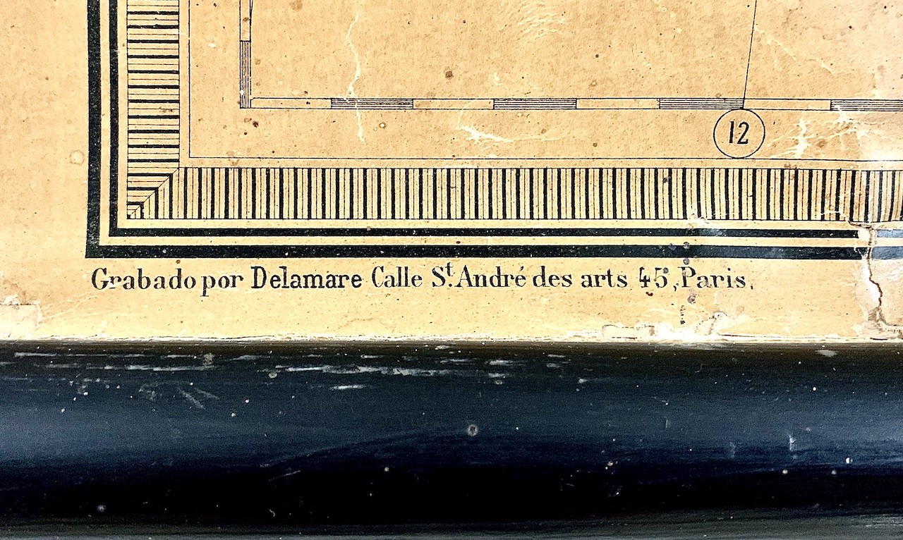
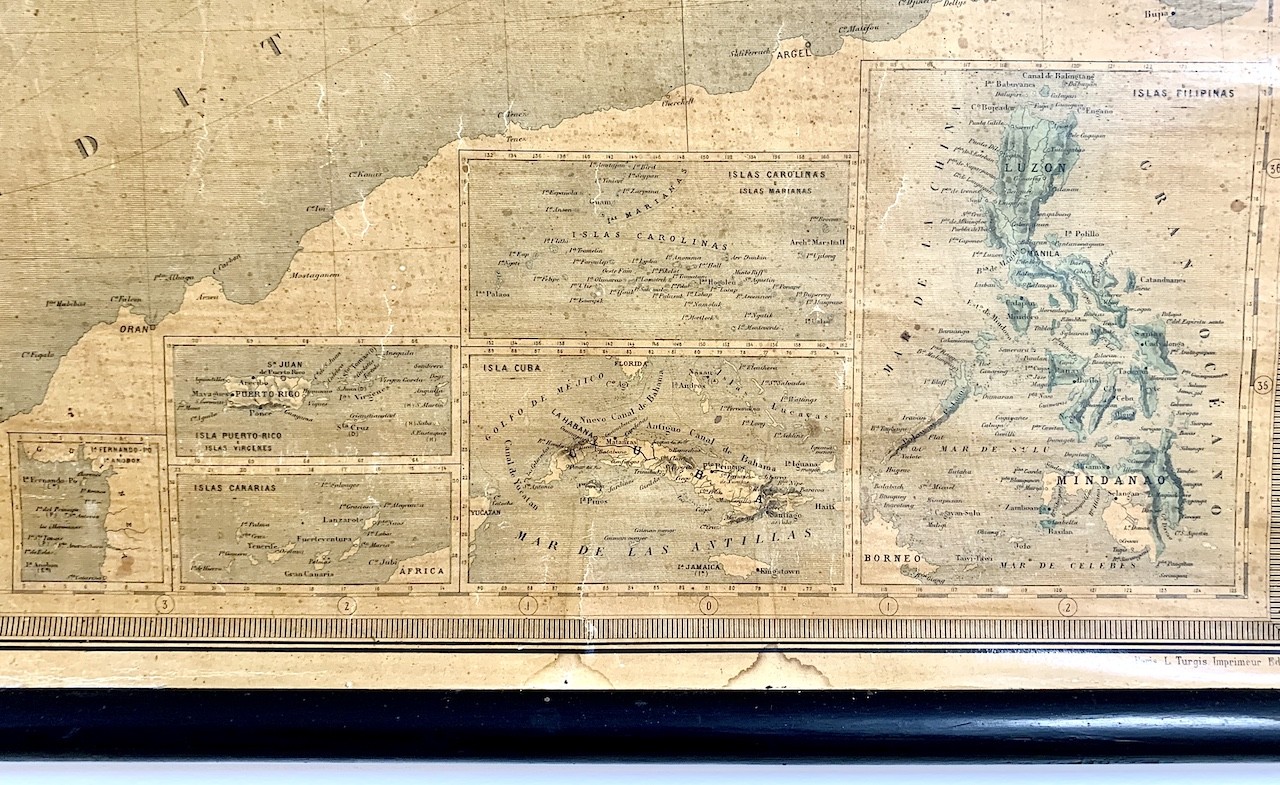

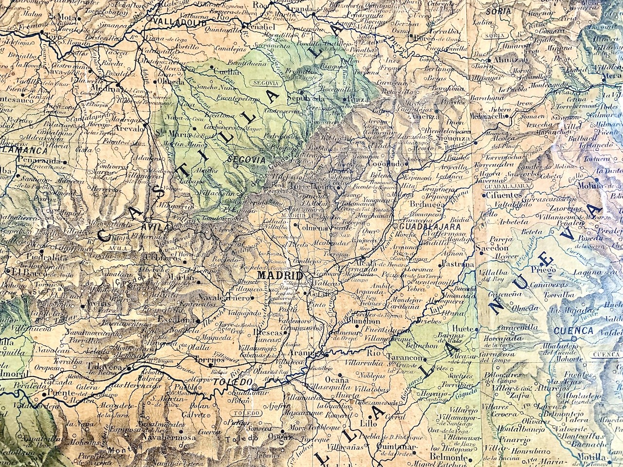
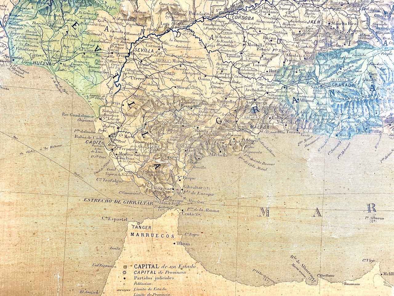
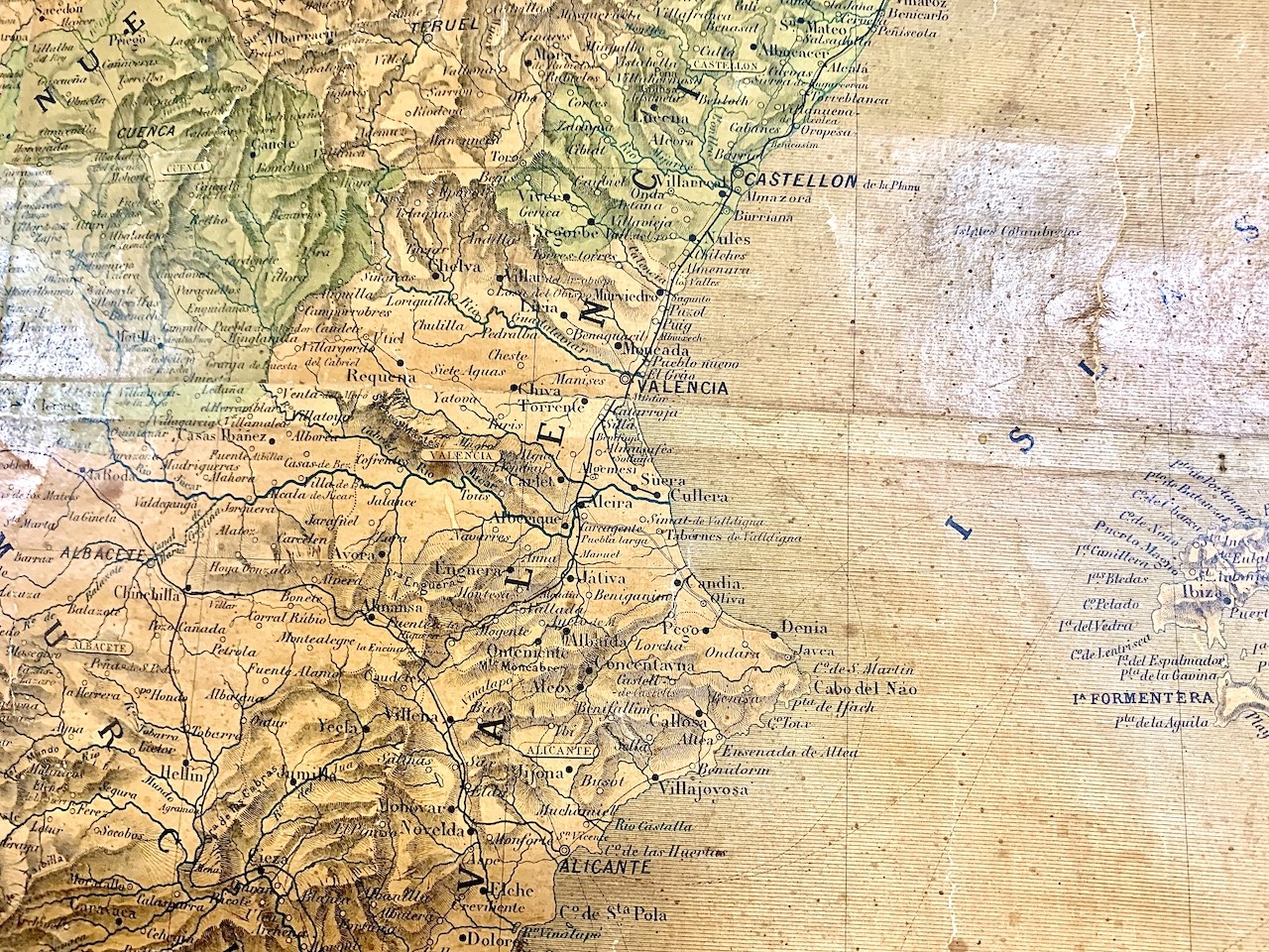
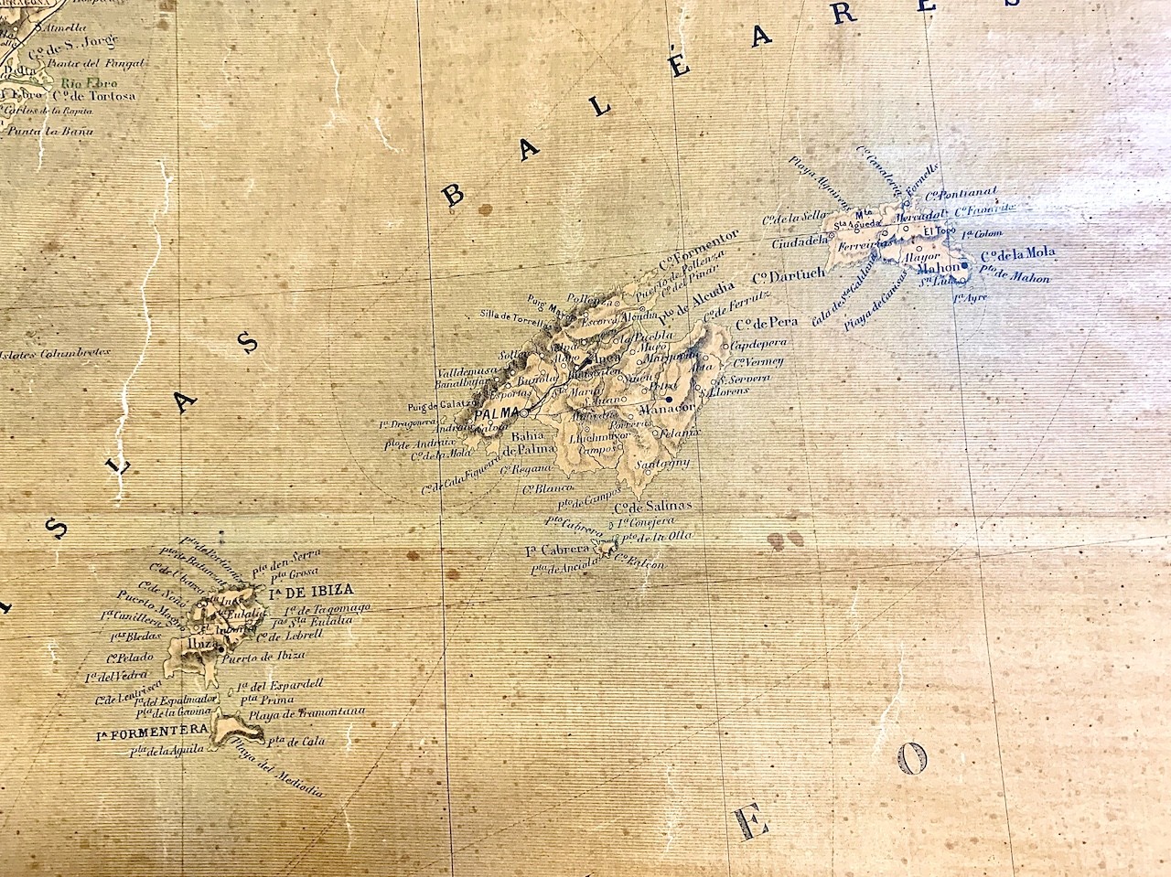

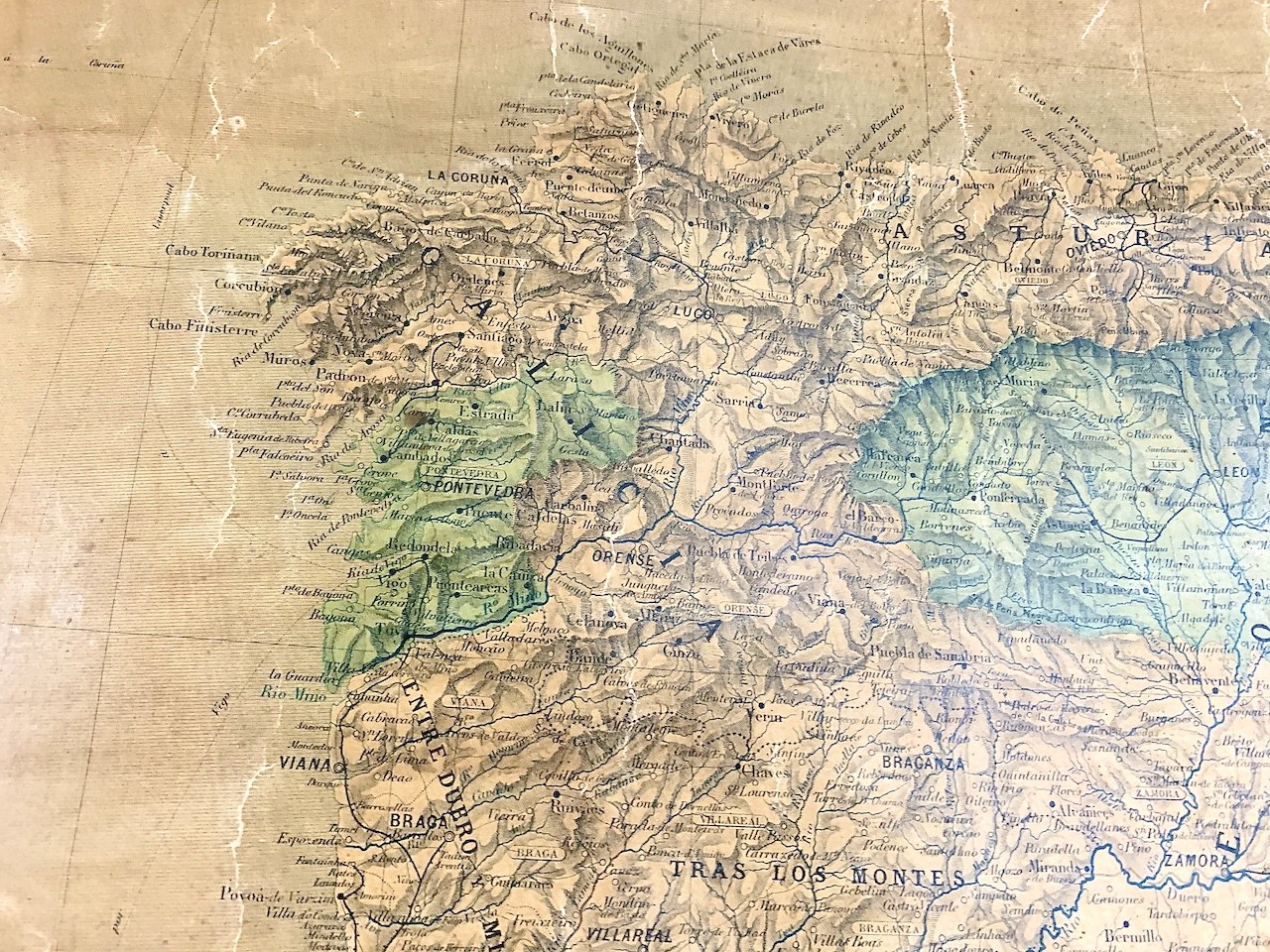

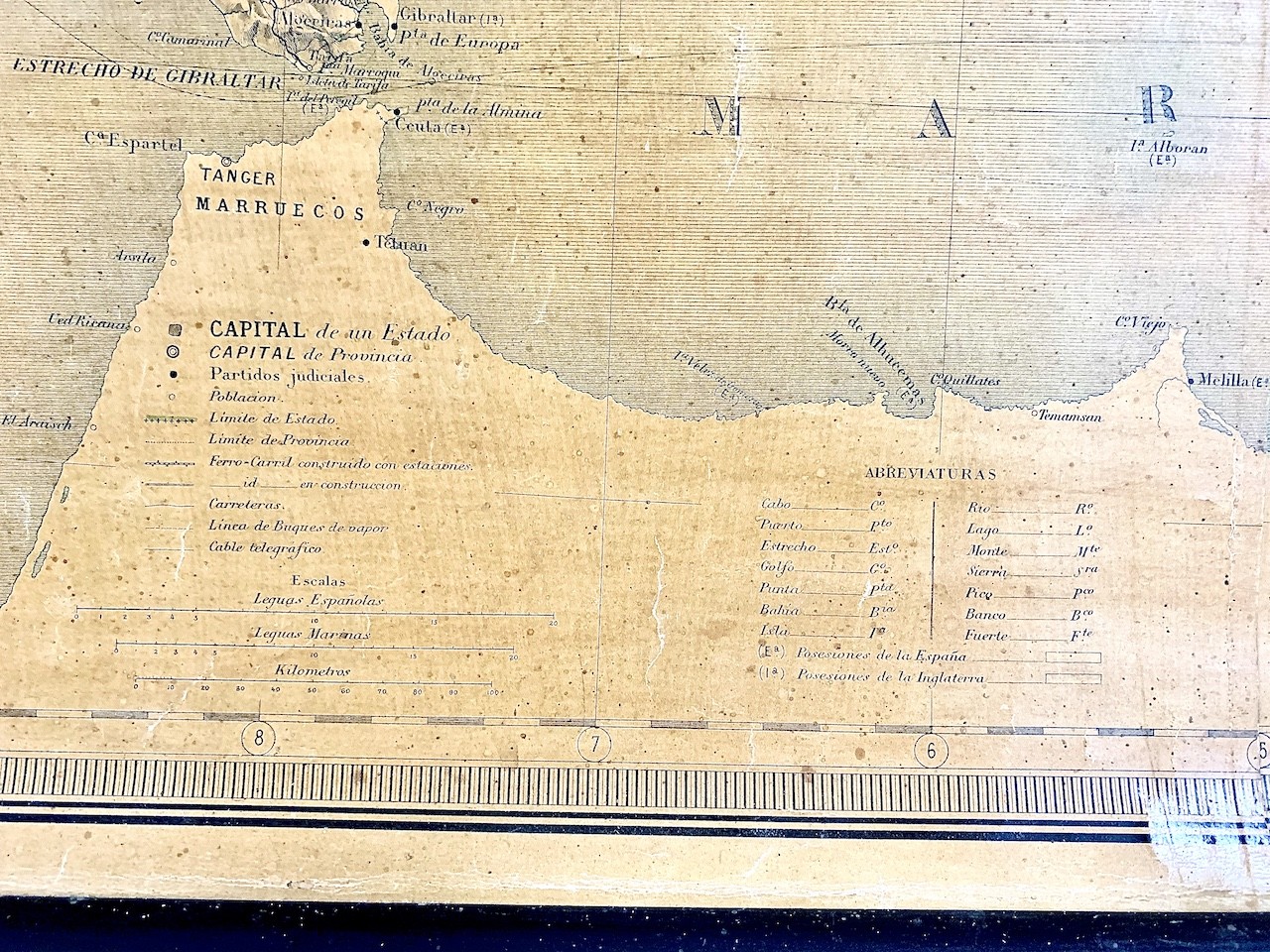
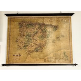
19th century map of Spain (1870-1880)
610
New
This product is no longer in stock
- Enviar a un amigo
- Sacar de mis favoritos
- Agregar este producto a mis favoritos